

Glen Canyon Dam time-travel split-screen
Glen Canyon Dam time-travel split-screen
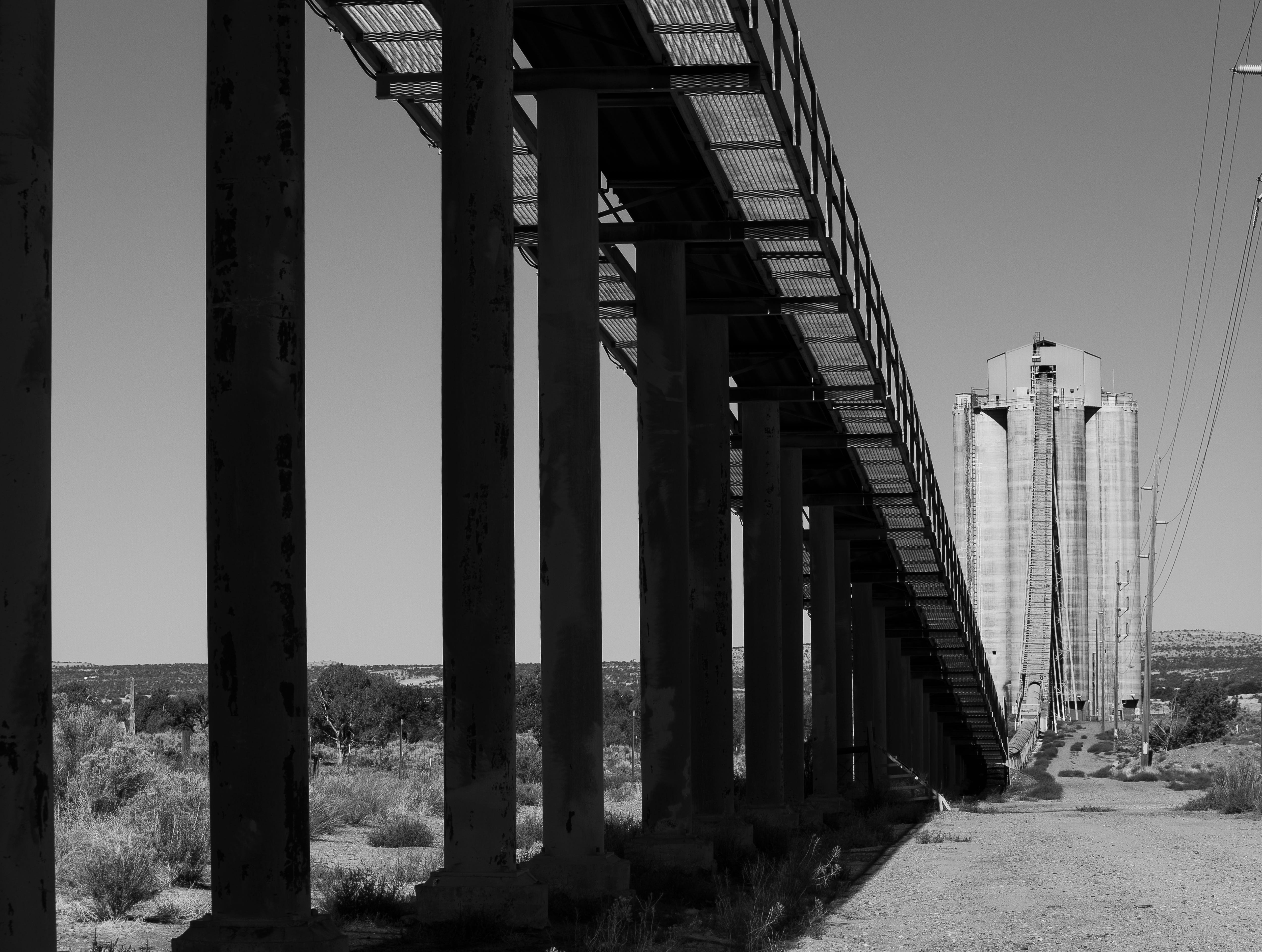
Moments from a Land Desk road trip

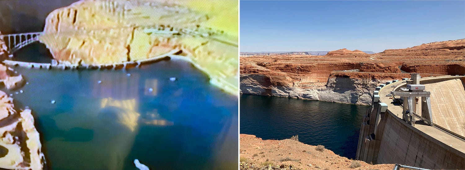
I write this dispatch from a Page, Arizona, motel, where I’m having a surreal split vision. If I look to my right, out the window, I see the white bathtub ring that has discolored the red rock shores of Lake Powell, an indicator of just how much the reservoir has shrunk, due to global warming, decreased streamflows, evaporation, and overuse. Over the last year, the ring has grown by 50 feet, making it 158 feet tall—the amount by which the lake level has sunk since its 1983 high-point. To say that the reservoir—and the Colorado River system that feeds it—is in crisis is an understatement.
When I look to my left, I see the giant television screen and antiquated images of another crisis on Lake Powell: In 1983, there was too much water in the Colorado River and the reservoir, threatening to burst the dam and blow out the spillway tunnels, which were faultily designed.
The story of that near-disaster was first brought to light by High Country News, which ran a harrowing feature by T.J. Wolf in 1984, which included this description:
If you were on the bridge below the canyon that spans the dam that June morning … you would have seen a sight terrifying enough to put the fear of God into anyone, but especially into an engineer.
You would have seen the steady sweep of the spillway mouths suddenly waver, choke, cough and then vomit forth half-digested gobbets of steel-reinforced concrete (bad, very bad), spew out blood-red water (My God, it’s into bedrock), and finally disgorge great red chunks of sandstone into the frothy chaos below the dam.
You would have seen the Colorado River going home, carving rock, moving deeper, as it has always done.
The documentary, in contrast to the article, has a triumphant tone to it, of disaster averted. Still, it seems almost cruel to air the too-much-water documentary repeatedly on the local public-access channel during these dry times of slow-motion calamity, when low water has rendered the boat ramps virtually unusable, depressing visitor counts and Page’s tourism-dependent economy, and threatens to kill the dam’s hydropower generation capacity, too. It turns out pinning all economic hopes on recreation does not necessarily make a community immune to the volatility that plagues extraction economies.
Check out this video for a mashup of clips from the propaganda piece … er, documentary … and shots of running the Grand Canyon when gobs of water were being released from the dam in order to draw down lake levels.
I’m not in Page to go jet-skiing or to play golf on the yellowing-course next to my hotel, but to rest in between readings of my new book, Sagebrush Empire. After a great reading in Bluff and a conversation with the Salt Lake Tribune’s southeast Utah reporter Zak Podmore, I headed south through Monument Valley, into the shadow of Black Mesa, and then turned west toward Page.
As I drove, I eagerly anticipated a clear view of Navajo Mountain. It was to be the first time I’d be able to see the details on this side of the berg’s slopes, since every other time I’d been out here the Navajo Generating Station was spewing particulates and sulfur dioxide and nitrous oxides—i.e. smog—into the air, which manifested as a yellow-brown cloud hovering over Glen Canyon and the surroundings. The coal-fired power plant, once one of the largest and most polluting in the West, shut down in 2019 and was demolished. Air quality across the Four Corners improved markedly as a result.
But as I came around the bend near Kaibito and sailed out into the open I was confronted by the same (lack of) vision as before: Navajo Mountain again appeared as an ashy blue haze-obscured mound. Where once coal-burning smog blotted out the view, now forest-burning smog, otherwise known as wildfire smoke, does the same. There’s some sort of irony there, I suppose, what with the coal-burning smog being replaced by smoke from fires fueled by drought that is exacerbated by climate change that is caused by a couple centuries of burning coal and other fossil fuels. In other words, the smog I’m seeing now is also from Navajo Generating Station—reduced to a pile of scrap and rubble—just several steps removed.
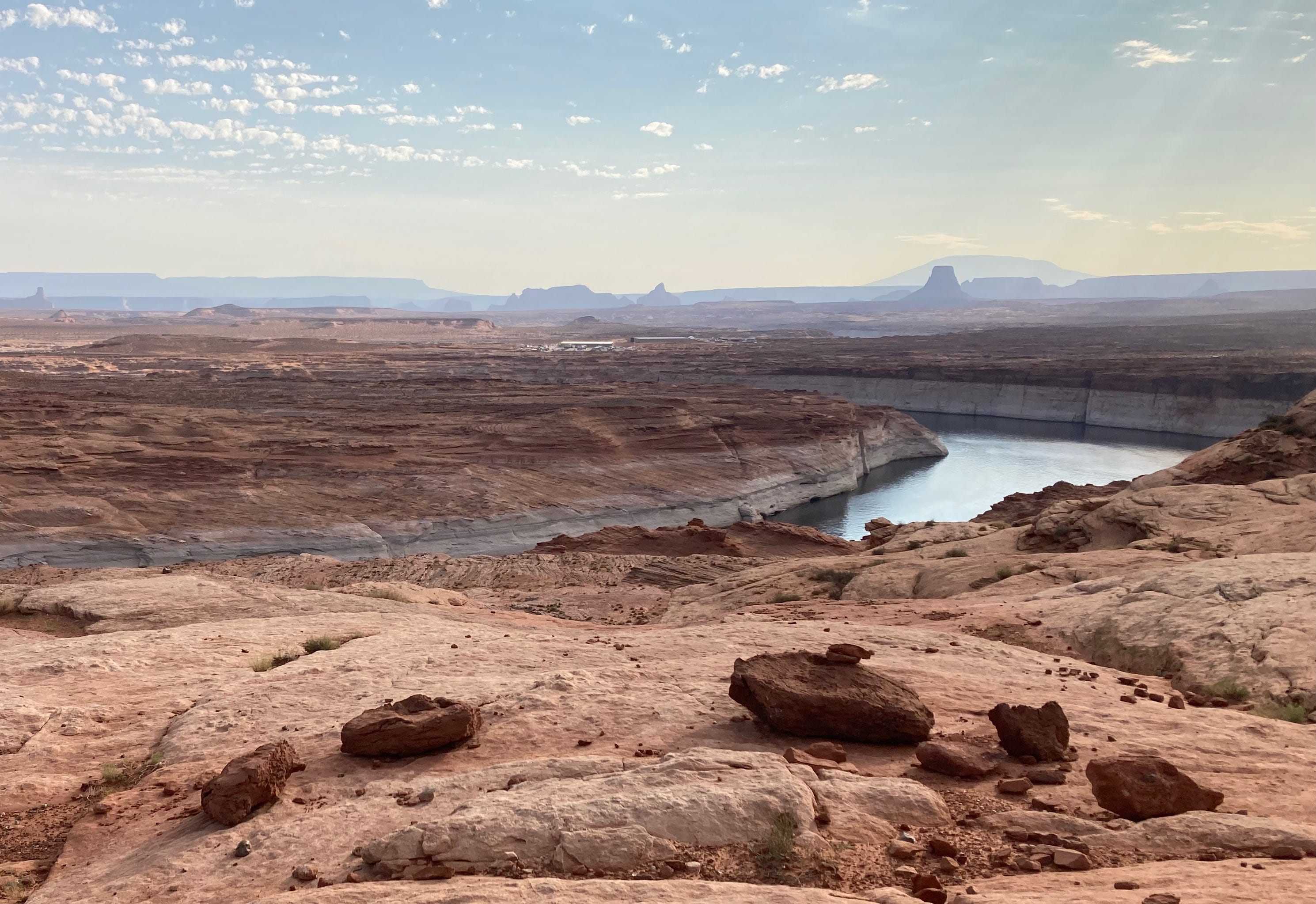
My long-distance photo shoot stymied, I pulled off the road, got out into 102 F degree heat, and took some pictures of the bathtub ring around Lake Powell as a sort of consolation prize. St. George was even hotter than Page, thanks in part to the urban heat-island effect. I did a reading from Sagebrush Empire at the Book Bungalow, followed by a conversation with Isabel Adler, the Public Lands Program Director for Conserve Southwest Utah. Adler and her colleagues are fighting to stop a new highway from being built through the Red Cliff National Conservation Area, among other things.
The next morning I headed up to Red Cliffs for a run through the scene of the would-be crime, a four-lane “parkway” slashing across the red-rock- and cacti-strewn plateau, which not only serves as a lovely piece of Bureau of Land Management open space right on the edge of St. George, but is also habitat for imperiled desert tortoises.
The new road would link up with an existing parkway, providing a faster route around the urban sprawl and facilitating more growth in what is already one of the fastest growing parts of the country. But really it appears as if the state of Utah wants to build it just because they can. And they can because the Trump administration gave the project the go-ahead on its way out the door this January. Conserve Southwest Utah joined with other environmental groups to sue to stop construction of the project. The case is wending its way through the courts.
Back in Page I decide to take advantage of the bargain rates on rooms and get me a little air conditioning, a comfortable bed, and the incongruent view of the golf course, a seemingly endless stream of traffic, and the gargantuan form of the dam that is becoming obsolete. In the morning, before it gets too hot, I head out on a trail run that circumnavigates the town, which was established in the 1950s to house workers building the dam. The trail winds across red rock and skirts brand new, giant houses with emerald green lawns. The views, smoke and all, are outrageous. A woman does yoga on the rim overlooking a dwindling Lake Powell. A rabbit hops through what appears to be a feral crop of corn sprouting in a dry arroyo. A sign says a feral crop of resort-style homes will be sprouting soon, lack of water be damned.

The Glen Canyon 1983 documentary ends with the narrator reciting a monologue against a backdrop of major-chord music. The multi-million-dollar upgrades completed after the near-disaster, he says, marked, “a victory for the human spirit, for the leaders who cut through the red tape … for the men and women who worked long hours and did the job. The American people who own this dam and Lake Powell can be confident that when the flood waters run down the Colorado, Glen Canyon Dam will be ready.”
I try—and fail—to imagine what the narrator will say in some future documentary about the slow-motion calamity underway now.
I wonder if the Bureau of Reclamation funded that documentary or maybe the estate of Floyd Dominy. I guess one of the few good things that came out the 1983 damn dam problems was the run of the Emerald Mile and later Kevin Fedarko's riveting book.
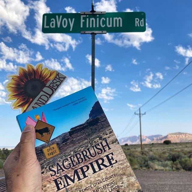
Jonathan, Funny last photo but not sure I get it. I assume you know you know about LaVoy Finnicum and the stand off at the Malheur Refuge?